

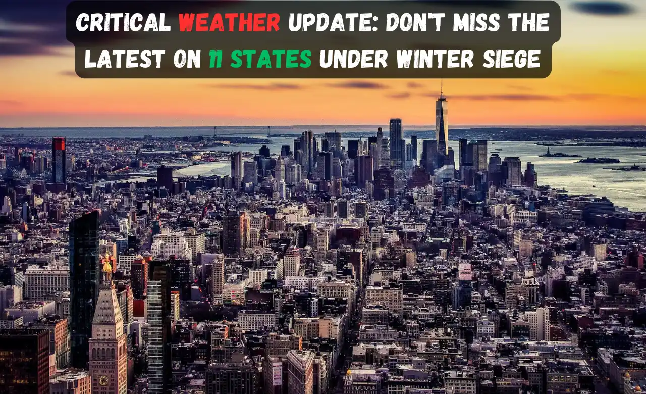
Winter Storm Warnings: Battling Nature’s Fury Across 11 States
Introduction
Winter is here, and it brings not just the festive cheer but also a formidable force of nature. Currently, winter storm warnings are sounding alarms in 11 states across the United States. From the serene landscapes of Maine to the majestic Rocky Mountains, an atmospheric river is lashing through the country, leaving a trail of heavy rain and snow. In this article, we will delve into the specifics of the warnings, exploring the impacts and preparations needed in each affected state.
The Atmospheric River Unveiled
Understanding the atmospheric river is crucial to deciphering the intensity of the upcoming weather events. These narrow channels in the atmosphere are akin to nature’s expressways, transporting copious amounts of moisture. The National Weather Service forecasts a multi-day atmospheric river event, primarily impacting the Northwest and the Rockies. Let’s break down the warnings and delve into the specifics for each state on the storm’s path.
Colorado: Rocky Mountain National Park Braces for Impact
Winter storm warnings echo across various regions in Colorado, with the Rocky Mountain National Park taking the brunt. Forecasts suggest up to 18 inches of snow, rendering visibility near zero and roads perilously snow-covered. Travelers are urged to exercise caution, as hazardous conditions could prevail until 11 p.m. MST on Sunday.
Idaho: Navigating Through Bear Lake Valley
Idaho anticipates heavy snow in regions like Bear Lake Valley, Bear River Range, Boise Mountains, and the Sun Valley area. Travel may become difficult to impossible due to blowing snow affecting visibility, coupled with gusty winds posing potential threats from falling tree branches.
Maine: Plowable Snow and Perilous Commutes
Parts of south central, west central, and western Maine are in the storm’s crosshairs. Expect “plowable snow” creating dangerous driving conditions, particularly during periods of moderate to heavy snow. Commuters, brace yourselves for a challenging Monday morning drive.
Nevada: Snow Blanket on Northern Elko County
Northern Elko County in Nevada, along with the Rocky Mountains and East Humboldt Range, is set to experience heavy snowfall and gusty winds up to 40 mph. Sunday in this region promises a picturesque yet challenging winter scene.
New Hampshire: Carroll, Coos, and the Snowy Forecast
Winter storm warnings extend to Northern Carroll, Northern Coos, and Southern Coos counties in New Hampshire. Forecasters predict heavy snowfall until Monday afternoon, with accumulations reaching up to 10 inches. Residents are advised to prepare for challenging conditions during this period.
New York: Clinton County Faces Winter’s Embrace
Western Clinton County, New York, braces for heavy snow, expecting accumulations ranging from 3 to 8 inches. Travel difficulties are anticipated from Sunday evening into Monday morning, potentially accompanied by scattered power outages.
Oregon: Navigating the Northern Blue Mountains
A winter storm warning is in place for the northern Blue Mountains of Oregon, with heavy mixed precipitation expected until 10 a.m. PST on Sunday. Commuters should plan for slippery road conditions in this region.
Utah: Battling the Elements in Wasatch and Uinta Mountains
Warnings are in effect for Wasatch Back, Wasatch Mountains I-80 North, Wasatch Mountains South of I-80, and Western Uinta Mountains in Utah. Brace for additional snow accumulations of 8 to 16 inches, coupled with gusty winds reaching up to 75 mph on exposed ridges.
Vermont: Snowfall Blanket on Orleans and Essex Counties
Orleans and Essex counties in Vermont anticipate heavy snow from Sunday afternoon until 10 a.m. EST on Monday. Snow accumulations could range between 3 and 8 inches, with higher elevations expecting up to 10 inches.
Washington: Mixed Precipitation in the Northwest Blue Mountains
In the Northwest Blue Mountains of Washington, heavy mixed precipitation is anticipated until 10 a.m. PST on Sunday. Residents should remain cautious of potentially slippery road conditions.
Wyoming: Yellowstone National Park and Beyond
Yellowstone National Park in Wyoming is bracing for heavy snow, with accumulations up to 18 inches expected across southern and eastern portions. Far southwestern areas might witness up to 24 inches. The Sierra Madre and Snowy ranges should prepare for extremely hazardous mountain travel conditions.
Conclusion
Nature’s fury knows no bounds, and as winter storms sweep across 11 states, it’s imperative for residents to heed warnings, stay informed, and exercise caution. Whether it’s the enchanting snowfall in Vermont or the challenging conditions in Colorado, preparation is key. As we navigate through these winter warnings, let’s remember the resilience of communities in the face of Mother Nature’s formidable dance.
FAQs: Unraveling the Winter Storm Warnings
Q1: How long will the winter storm warnings be in effect?
Winter storm warnings are expected to remain in effect until conditions improve, with variations depending on the state and region.
Q2: Are power outages anticipated in all affected areas?
While scattered power outages are possible, they are not guaranteed in every region. It’s advisable to stay informed through local news sources.
Q3: How can residents prepare for the heavy snowfall?
Residents should stock up on essential supplies, stay updated on weather forecasts, and avoid unnecessary travel during the storm.
Q4: What is an atmospheric river, and how does it contribute to the storm?
An atmospheric river is a narrow channel in the atmosphere that transports a significant amount of moisture. It plays a crucial role in intensifying the storm, leading to heavy rain and snowfall.
Q5: Are there any specific road closures or restrictions to be aware of?
Road closures and restrictions may vary by region. It’s recommended to check with local authorities and transportation departments for real-time updates on travel conditions.